
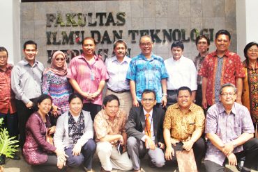
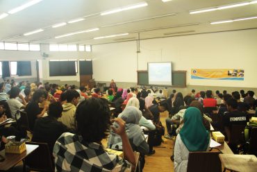
Geodetic Aspects Training (Level 4) PT PAMA 2008
On March 10 to 16 2008 PT Pamapersada Nusantara (PAMA) in collaboration with the Scientific Group of Geodesy Faculty of Earth Science and Technology (FITB) Bandung Institute of Technology held a training cooperation aspects of geodetic level 4. The training activities carried out for a whole week is filled with theories and practical aspects of geodetic that includes geometry of land (measuring the horizontal, vertical, profile, contour, the calculation of area and volume), the introduction of a map, the types of maps, geometric point maps, digital maps, the concept of GIS, the concept of reference system coordinates , geodetic datum, the system of measurement error, the concept of arithmetic averaging, and the introduction of the Global Positioning system (GPS).
More news in http://geodesy.gd.itb.ac.id
No Comments