
Geospatial for Development Aceh
By the tsunami on December 26, 2004, Banda Aceh and towns on the west coast of Aceh devastated. However, the process of rebuilding Aceh in various sectors can be a model for other areas in the use of geospatial data as a reference.
It is delivered Diah Kirana Kresnawati, Head of Information Services and Coordination Agency for Surveys and Mapping (Bakosurtanal), Tuesday (24/6). This past June the Chief of RW Matindas Bakosurtanal will submit the results of the survey and mapping of Aceh to the Governor of Nanggroe Aceh Darussalam (NAD).
Diah explained, NAD geospatial data, especially the tsunami affected areas, compiled by the Task Force on Geospatial seconded Bakosurtanal in Aceh Reconstruction and Rehabilitation Agency since 2005. The data scale of 1: 5000.
Diah added, spatial data is very important in development. For example, the French whose policies based on geospatial data and geospatial consultancy. He hopes in Indonesia at least RBI maps artificial Bakosurtanal Indonesia could be a reference for the technical department, industry, and local governments to thematic maps.
With reference to the same standard, to do the exchange of data and development plans completely. According to him, in terms of the coverage, almost all regions have had geospatial data, but its utility for planning the development is still very low. Spatial data that can be used, among others, potential and suitability of land for agricultural development and plantation.
Less socialization
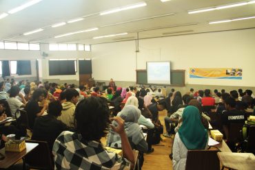
One cause of low utilization of spatial data, said Diah, is the lack of human resources to master the use of the data. According to the high school geography teacher 1 Balikpapan, Marzani, who has experience teaching for 23 years, the shortage of teachers in the area causing Geography Geography lessons delivered teacher graduates of other disciplines.
He also saw student who majored in geography also very minimal, about 1 percent of the graduates in his school. Meanwhile, during a visit to Bakosurtanal yesterday, Minister of State for Research and Technology Kusmayanto Kadiman explained, to monitor the progress of construction, necessary tools providing spatial information-based Free Open Source Software (FOSS), for example on the portal geospatial, as well as encouraging research in order to map production Bakosurtanal can more quickly, accurately, and economically affordable.
Many of the fields need to utilize maps, among others, tourism, regional development engineering, search and rescue, and military. Utilization depends on the reader’s understanding of the map.
Source (http://cetak.kompas.com)

No Comments