Analysis of ITB Tsunami Experts on Earthquakes and Tsunamis in Central Sulawesi
fitb.itb.ac.id; October 4, 2018. Quoted from the https://www.itb.ac.id/.
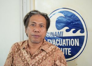
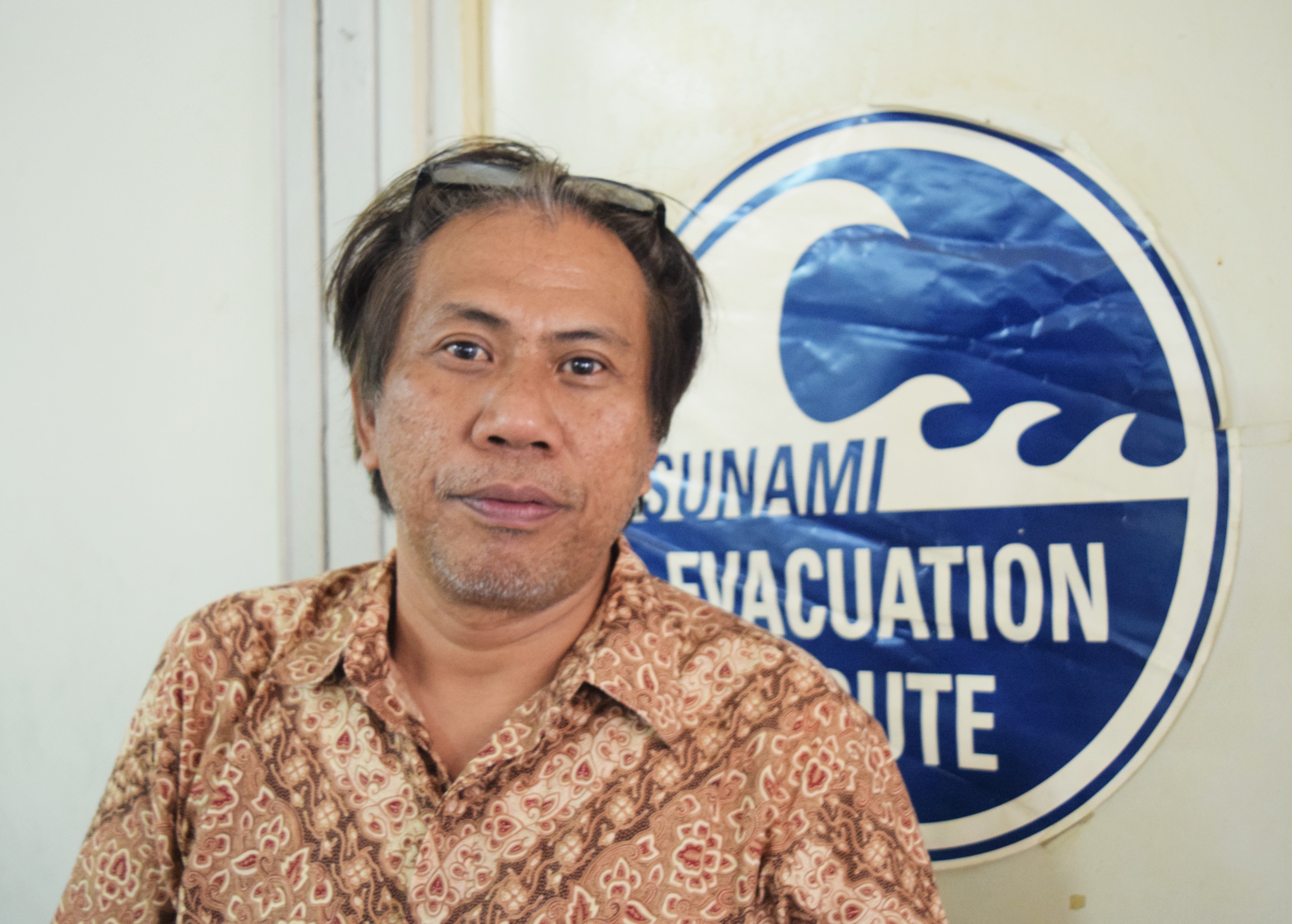
An earthquake of magnitude 7.4 accompanied by a tsunami that occurred in Palu, Central Sulawesi and surrounding areas on 28 September, has resulted in buildings being damaged and causing thousands of deaths and injuries. Tsunami Specialist Dr. Eng. Hamzah Latief from the Oceanography Expertise Group, ITB Faculty of Earth Sciences and Technology explained why the earthquake and tsunami occurred.
According to him, the earthquake that occurred in Palu was a movement from the Palu Koro fault. The mechanism of the earthquake that occurred there, he added, was raised like a strike-slip but there was a trusting at the northern end of the fault. This trusting will cause deformation under the sea so that a tsunami moves near the coastal waters of Donggala.
“However, at the time of the earthquake it caused a shock where unstable sediments in the mouth of the river would slip down and cause a local tsunami,” he said.
This can be seen from the video footage circulating. A viral video shows turbulent and turbid water taken on a ship. Based on the hypothesis, this phenomenon indicates the existence of sediment avalanches under the sea. And second, the video from the top of the building that looks at the seawater has receded and is whiter, then a high tsunami wave occurs. It shows water from offshore.
Koro Hammer Fault Activity
The Palu Koro Fault is said to be very active with a movement of 44 millimeters per year. Many studies or research on the fault have become a dissertation. ITB itself began the focus of the research on Palu Koro fault in 2012, the results have been submitted to the local Regional Government, BNPB and the presidential expert staff.
“We are indeed very concerned with Palu. We do this because the potential (tsunami) is huge, the results of our simulation show that this flooded area has been identified from our study. Where the height of the tsunami ranges from at least 2-3 on the land, “he said.
In addition, the results of the study have also been followed up by conducting training for the local government and several local researchers at Tadulako University to study and disseminate information about it, said Dr. Hamzah.
He also considered, because of the limitations of tsunami detection technology, it was necessary to have local knowledge of tsunami characteristics in Indonesia so that they not only rely on technology, but rely on our knowledge of the location. “From my studies there, the community knew about having a local language about tsunamis, like Mamuju and Bugis. They know, but maybe not too much attention from the current generation, he said.


No Comments