
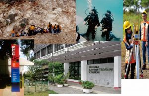
Hoempage : http://gd.fitb.itb.ac.id/
The Master and Doctoral Program in Geodesy and Geomatics Engineering is one of the Academic Education Programs at the Earth Faculty of Science and Technology (FITB) – ITB held since 1980.
Candidates
Prospective participants are Master of Science (Msi) or Master of Engineering (MT) can access the registration page on line at page http://usm.itb.ac.id
Program Curriculum
The Doctoral Program curriculum consists of 42 credits arranged into 6 (six) semesters. The design of the doctoral program education consists of 3 main stages, namely:
| Phase | Activity | Volume | Objective / Target |
| I | Lecture :
|
Mandatory Lecture : 5 sks | Development of Insights and Systems of Doctoral Thinking |
| Elective Lecture : 8 sks | |||
| II | Qualification | Qualification Exam : 3 sks
Proposal Exam : 3 sks |
Measuring Readiness and Qualification before Dissertation Research |
| III | Research and
Dissertation Exam |
Progress Seminar I, 2, 3, 4, : ( 4 x 5 sks) | Dissertation and Promotion Work |
| Closed Session, Open Session (3 sks) |
Dissertation Research
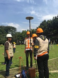
Dissertation research was held in the second year. Thesis research objects are managed using a 4 (four) Research Group Roadmap (Scientific Group) namely:
| No | Research Group | Research Focus |
| 1 | Geodesy | 1.Reference System
2.Gravity Field 3.Earth Rotation and Geodynamic 4.Positioining and Application 5.Spatio-Temporl Disaster Monitoring |
| 2 | Surveying and Cadastre | 1.Surveying and Engineering
2.Cadastre |
| 3 | Remote Sensing and Geographic Information Systems | 1.Remote Sensing
2.Photogrametry 3.Geographic Information System |
| 4 | Engineering of Sea, Coastal and Maritime Region | 1.Waters Boundaries & Ocean Government
2.Integrated Coastal Zone Management (ICZM) 3.on Archipelagic State 4.Marine Reasources Modelling and Disaster Protection 5.Coastal and Maritim Economic Development |